")
")
")
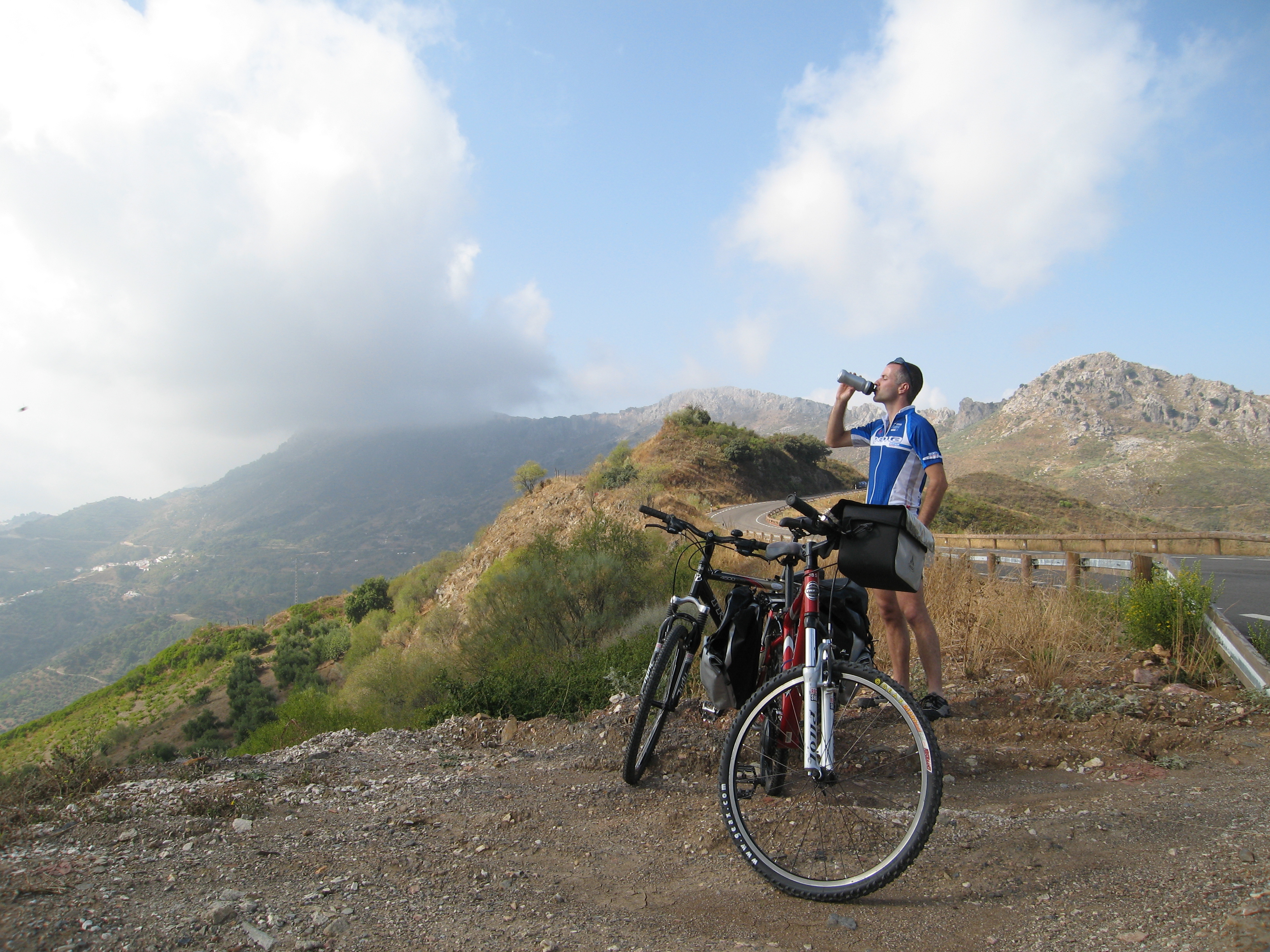
Rutas MTB
We choose to make these routes that are not too long or technical and are accessible for everyone. There’s no down hilling or tracks along dangerous ridges (although if you really want this there are plenty). Most people who do these routes like an easy ride or a bit of a challenge that only takes a couple of hours to a maximum of half a day. We highly recommend use of a GPS device, as on the map (and description) you cannot always say exactly where you are. So if you have one, please bring it along (don’t forget the GPS holder). We can send the files (GPX format) to you at the moment you book the bikes.
These routes lay mostly to the northern side of Serrania de Ronda, because in the South lay the mountain ranges of Sierra de las Nieves, which are rouged, without villages or cell phone coverage etc. You can imagine for your security and ours, it’s best to cycle on the Northern or Western side.
When you take your MTB out, be aware of the time, as you’ll need to complete the whole route. And a ¨short cut¨ in this area means mostly a much steeper way back. Of course we can give you an indication of how long it will take, but this will depend upon your fitness level. All routes are described in kilometres, which means you can keep track of the distance you have covered using the bike computer, and can calculate how long it will take you to complete the route.
If you decide to ride on your own (with a map) you'll expect to cover an average cycling distance of around 5 to 10 kilometres per hour, as we are situated in a mountainous area.
Cycleronda's idea is that, you start your cycling tour from Ronda and then whilst you're cycling you can choose at a certain stage of the ride to take the short or longer version of the same route. With this convenient option you can make your route as long as you like, it's just that easy!